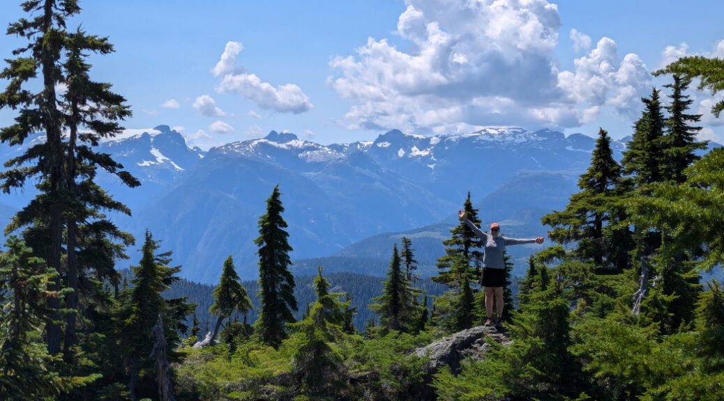
Mount Becher – Vancouver Island
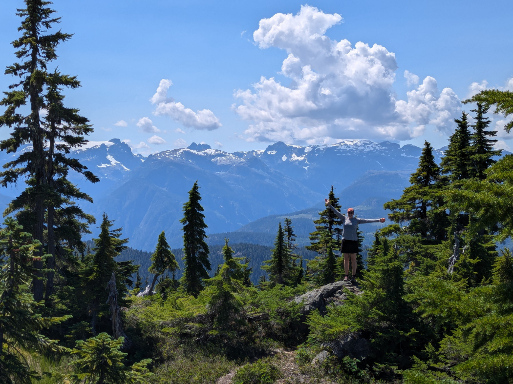
The hike up Mount Becher is one of the fabulous hikes on the edge of Strathcona Provincial Park in BC. The trail starts from the old Forbidden Plateau ski area, and has gorgeous views of the Straight of Georgia on the way up. Once you’ve made it into the alpine, you’ll see giant cliffs as well as views of the Comox Glacier and oodles of mountain peaks. Like all the hikes we’ve done in and around Strathcona Provincial Park, this is a great adventure. It’s also relatively short, so worked out well as an option for a road trip. I have a feeling this route would be even more amazing with snowshoes in winter.
Strathcona Provincial Park is on Vancouver Island, the 460km long island just off the coast of mainland Canada.
Mount Becher Map
Mount Becher – the basics
Distance: 11 km (we recorded 13km)
Cumulative Elevation gain: 700m-ish
Highest Point: 1390m
Time: 5 hour (We recorded 4 hours moving time, but took 5 hours total)
What to bring: The 10 Essentials
Facilities: Nothing.
Dogs: Great for dogs. They need to be on a lead once you enter Strathcona Provincial Park.
How hard is it? The harder side of intermediate. The trail is a bit of a grind, but it’s not too long and easy to follow.
Extra notes: Amazing effort to view ratio! You get a nice long time in the alpine for this one.
Mount Becher – getting started
The trailhead is at the top of the old Forbidden Plateau ski resort. From highway 19, turn off at Piercy Road, then turn right just over 1km later onto Forbidden Plateau road. Follow that road right to the top (it can be a little rough, but you don’t need 4×4.) There is a large parking area at the top that was very busy with mountain bikers.
The start of the hike is up the old ski hill and it feels very steep!
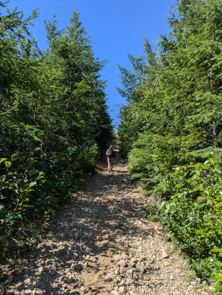

Try to stay on the “Forbidden Ski Hill trail.” We went off course at one point, but you should find the route if you head uphill! The trail goes through the middle of two knobs. You’ll also start to see small ponds through the trees.

Strathcona Provincial Park
After the initial steep area, the trail flattens out a little as you enter Strathcona Provincial Park. There are signs towards McKenzie Lake and Kwai Lake where we explored on our previous hikes from Paradise Meadows. This whole area is worth spending plenty of time in! I appreciated the old wooden signs, especially the “don’t be a litterbugger.”

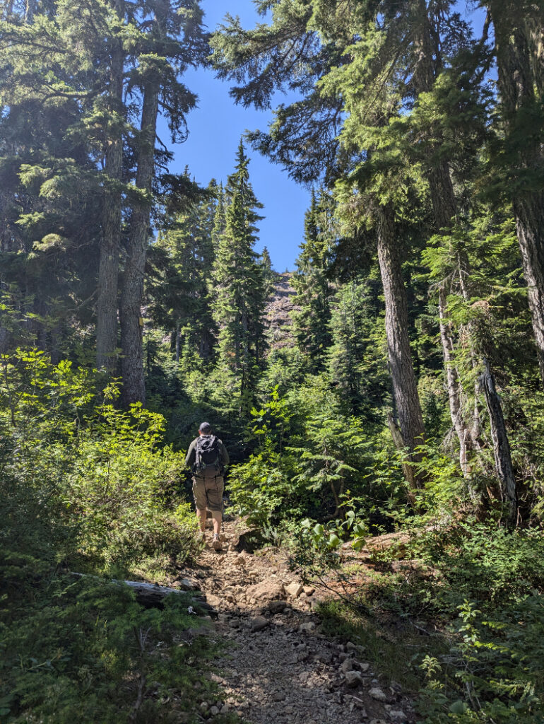
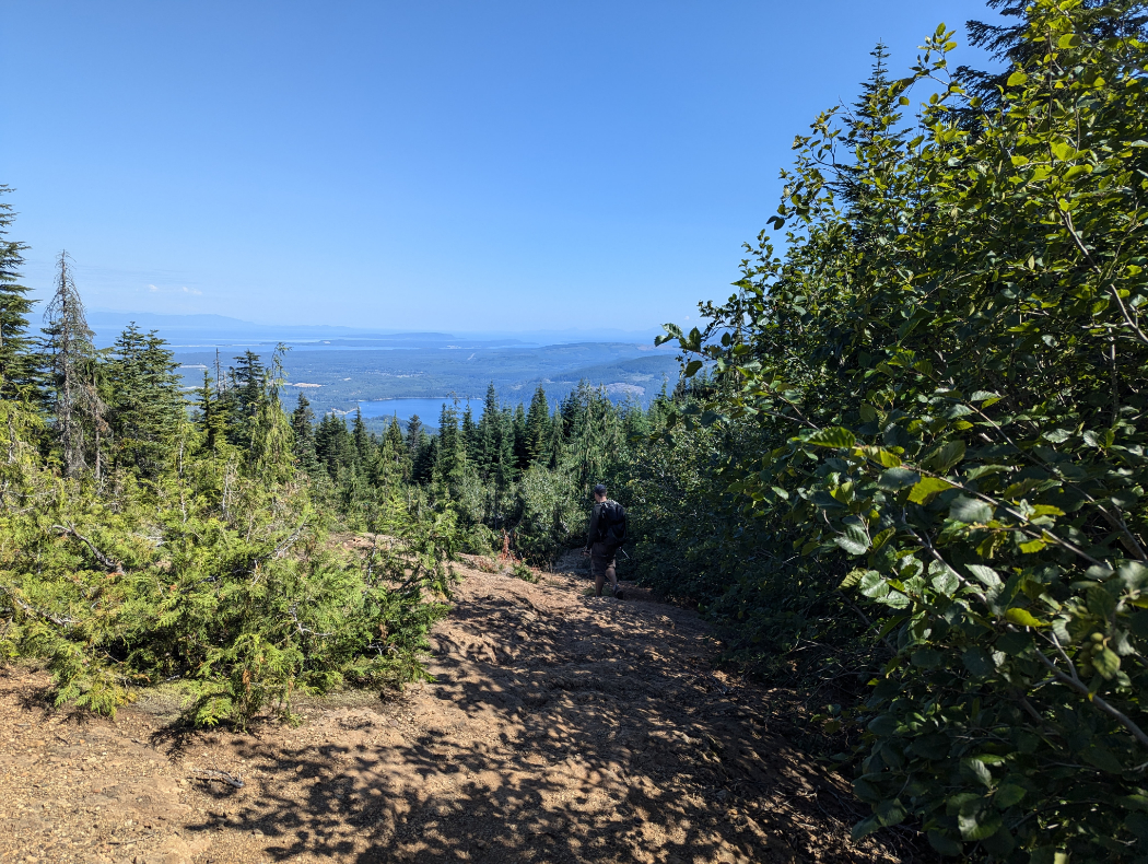
There are more steep sections in the trees, but they are mixed in with plateaus where you can catch your breath. The panoramas down to the Straight of Georgia are gorgeous.

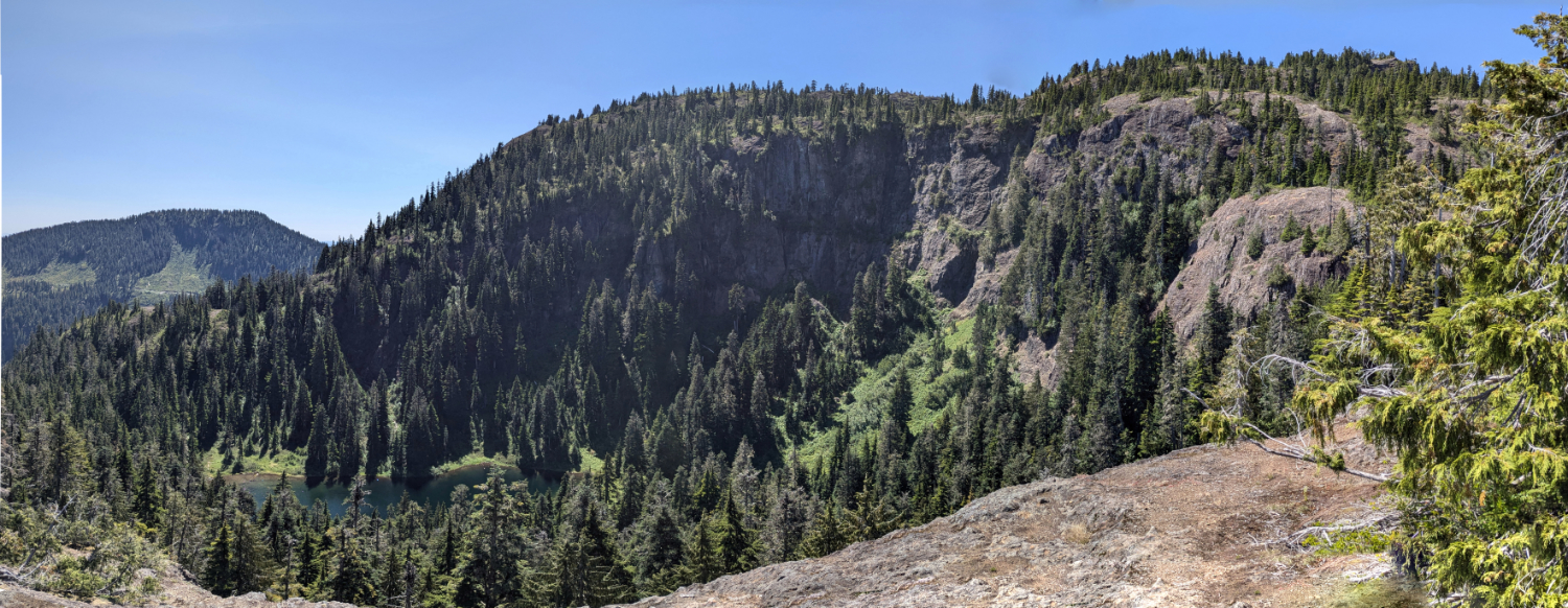
Cliffs by Boston Lake
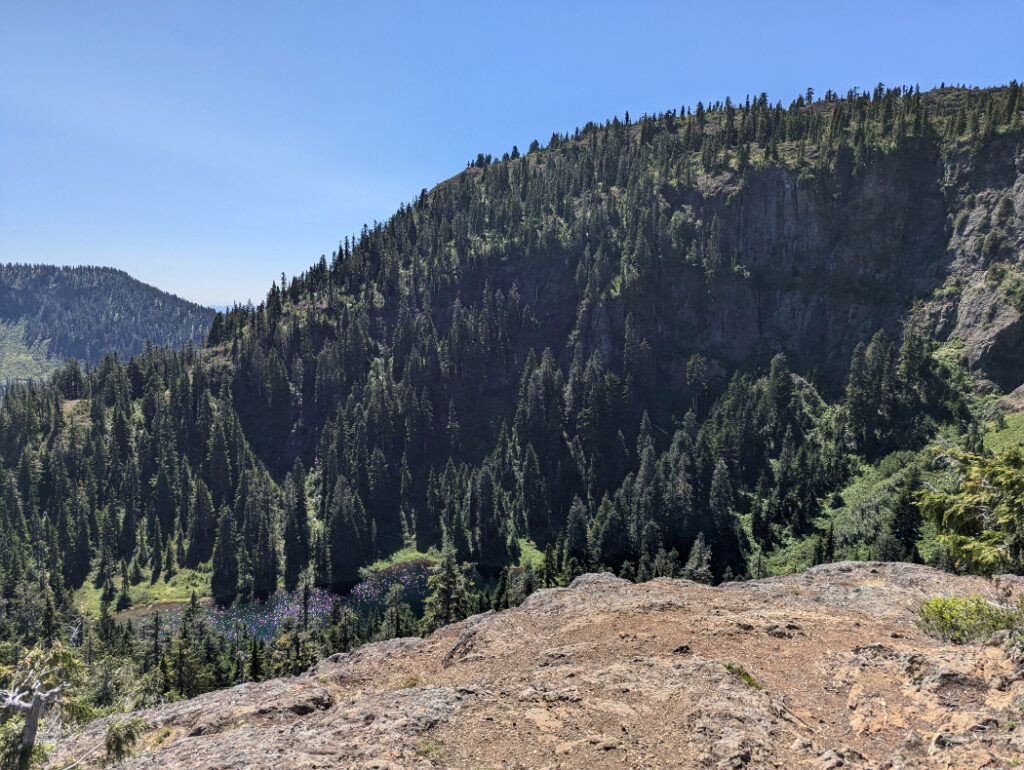
There is a small plateau that allows you to look down the giant cliffs above Boston Lake. The mountain behind, Boston Ridge, links up with Mount Becher; So if you are into peak bagging, you could easily do both in one hike. Marc is lucky that I didn’t know that when we visited.

The final push
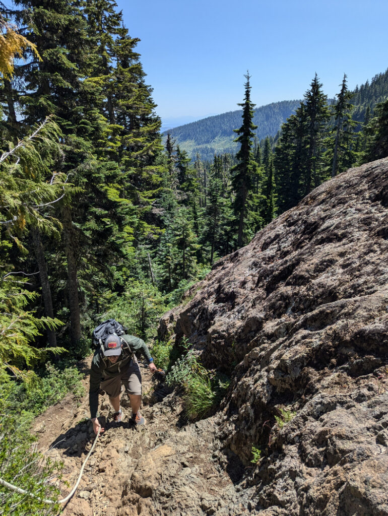
Once you’ve made it to the viewpoint above Boston Lake, it’s less than 1.5km to the top. The next section includes ropes to help pull yourself up the steep, rocky areas. The trees get smaller as you hike higher, so at least you’re treated to more fabulous subalpine views.

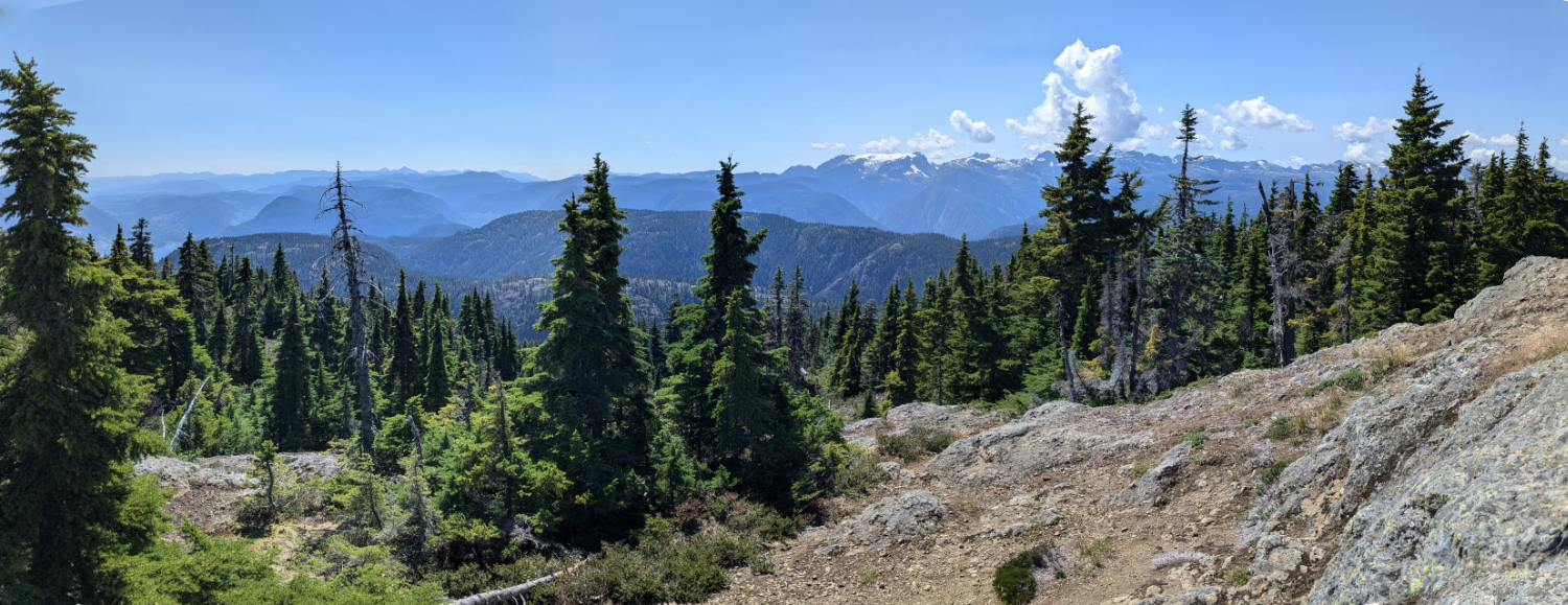
This is the view looking back the way you have just hiked up.
PromotedDon't miss out on today's trending deals!
Join thousands of users enjoying exclusive benefits right now.

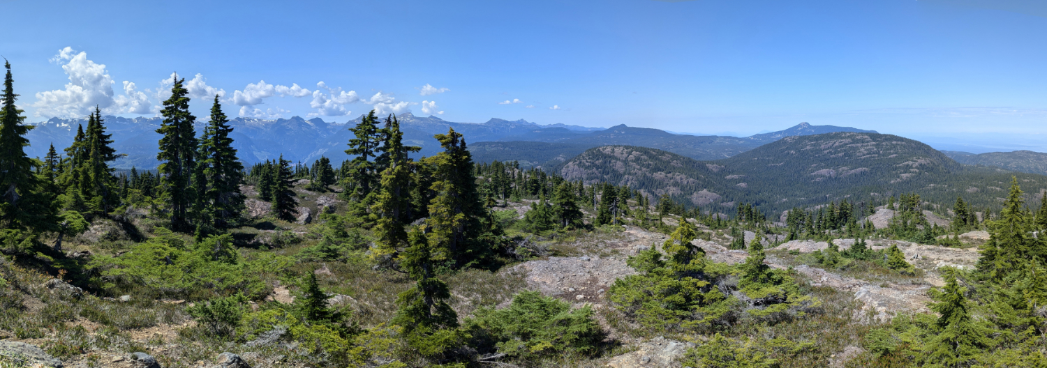
This is the view towards Mount Washington (you can just see it poking above the dome of Mount Drabble) To the left you can see the distinctive shape of Mount Albert Edward, further into the wilderness of Strathcona Provincial Park.

Mount Becher Summit
The shape of this peak is quite rounded, so it’s not very obvious where the true summit is. We found a marker… but it seemed like further along the trail was slightly higher. In any case, this means you can spread out and enjoy the views facing whichever mountains you like the look of most! This was our view south. You can see a slither of Comox Lake.

Perfect lunch spot!
We moved a few times (we ate a our sandwich with one view, then moved to face a new view for our apples…) Left: Comox glacier summit, Iceberg Peak and Mount Celeste. Right: Mount George V, Mount Frink, Mount Albert Edward and Mount Regan.

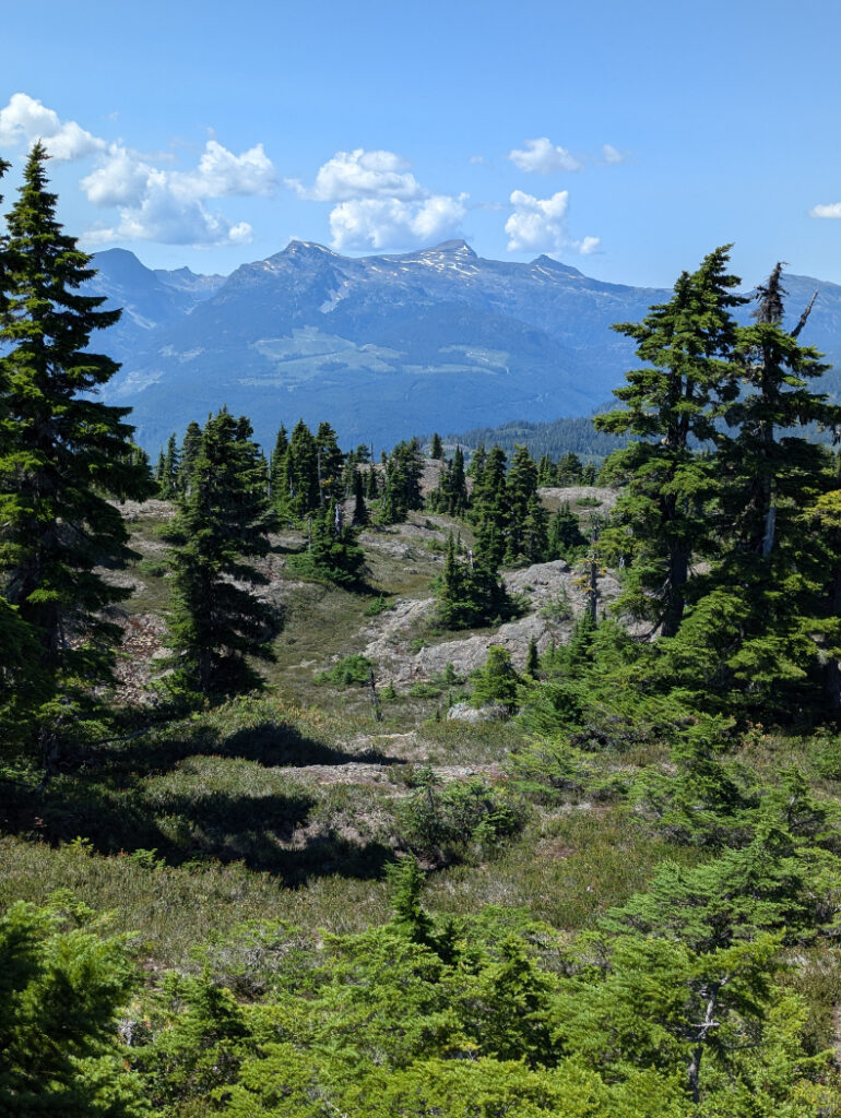
These views are not bad for just over 2 hours hike to the top!

Heading Back
This is an out and back trail, so retrace your steps to hike down. I had assumed that this would be a busy trail in the summertime (we did this on a Sunday in August, starting late at 11am.) However we only met a handful of other hikers along the way. It was surprisingly peaceful.
Other nearby trails
Strathcona Provincial Park is huge! It is the largest (and oldest) Provincial Park on Vancouver Island, and covers a massive 2500 square kilometers, so about the same size as Luxembourg! I’ll share some alternative hikes that are not too far from Mount Becher, so in the eastern section that juts out from the rest of the park.
- Mount Washington Linton’s trail 7 km – Short, steep hike through the ski resort
- Helen Mackenzie to Battleship Lake Loop 8.5 km – cut off part of the loop below for an easy option.
- Forbidden Plateau Loop (to Kwai Lake) 18 km – Amazing hike via multiple alpine lakes
- Cruickshank Canyon Lookout 23 km as a day hike, or 4.7 km from the Kwai Lake. This is a long hike, but it’s my favourite.


All in all, Marc and I both loved this route up Mount Becher. It’s short, but feels like a great workout and has spectacular views on the edge of Vancouver’s Island’s most pristine park. If you plan to spend time near Courtenay, definitely consider this adventure! Click on the pins below to save this for later.

12 thoughts on “Mount Becher – Vancouver Island”
Beautiful hike! Will definitely file away for the future!
Beautiful photos! Looks like such a great hike.
What a beautiful place to go hiking! I’d love to do that someday. Photos are also gorgeous.
Beautiful views, especially the ones on which you see lake Como. You had a beautiful day for a hike. I would have indeed expected it to be busy.
This is such a beautiful hike. The view at the top is definitly worth it
What a beautiful hike, I’ll share this with my friends who are living on the west coast.
What a stunning hike! I need to make it up to BC one day…
Your stunning photography is truly inspiring – adding to our bucket list.
Your photos are stunning–I’d love to do this hike, especially on a blue sky day.
I love trails that are in and out and back – you’re guaranteed to not get lost!
What a nice view at the top! Looks like a lovely hike!
Amazing! Love the lunch spot views