
Mount Benson – Vancouver Island
Mount Benson is a short, fun, workout hike near Nanaimo on Vancouver Island. It will get your heart pumping, and then reward you with spectacular views over the Straight of Georgia and over to the Mountains in Mainland Canada. This is the tallest peak near Nanaimo, so get ready for 360° views.
Mount Benson is the peak you can easily see as you pull into the ferry port in Nanaimo. That means, if you are the kind of crazy person that climbs a mountain as soon as you land on the Island – this hike is perfect! Marc and I were visiting Vancouver Island for a long weekend and we wanted to make the most of it! We took an early ferry, so as soon as we arrived in Nanaimo, we grabbed a coffee and headed straight to Mount Benson Provincial Park. This works well if you’d like to hike before it gets too warm!

Mount Benson Map
Mount Benson – the basics
Distance: 8 km
Cumulative Elevation gain: 770m
Highest Point: 1020m
Time: 3-4 hours (we recorded 3 hours moving time on strava)
What to bring: The 10 Essentials
Facilities: There is a loos at the trailhead.
Dogs: Great for dogs, but you should keep them on a lead
How hard is it? Intermediate. It is short and steep, so feels hard, but the route is easy to follow. There are some small scramble sections, but there is a rope to make it easier.

Mount Benson – Getting Started
There are a few different trails up Mount Benson. We did the one started from the main trailhead in Mount Benson Provincial Park. There is plenty of parking and a loo at the trailhead. Head straight into the forest and follow the signs to Benson.
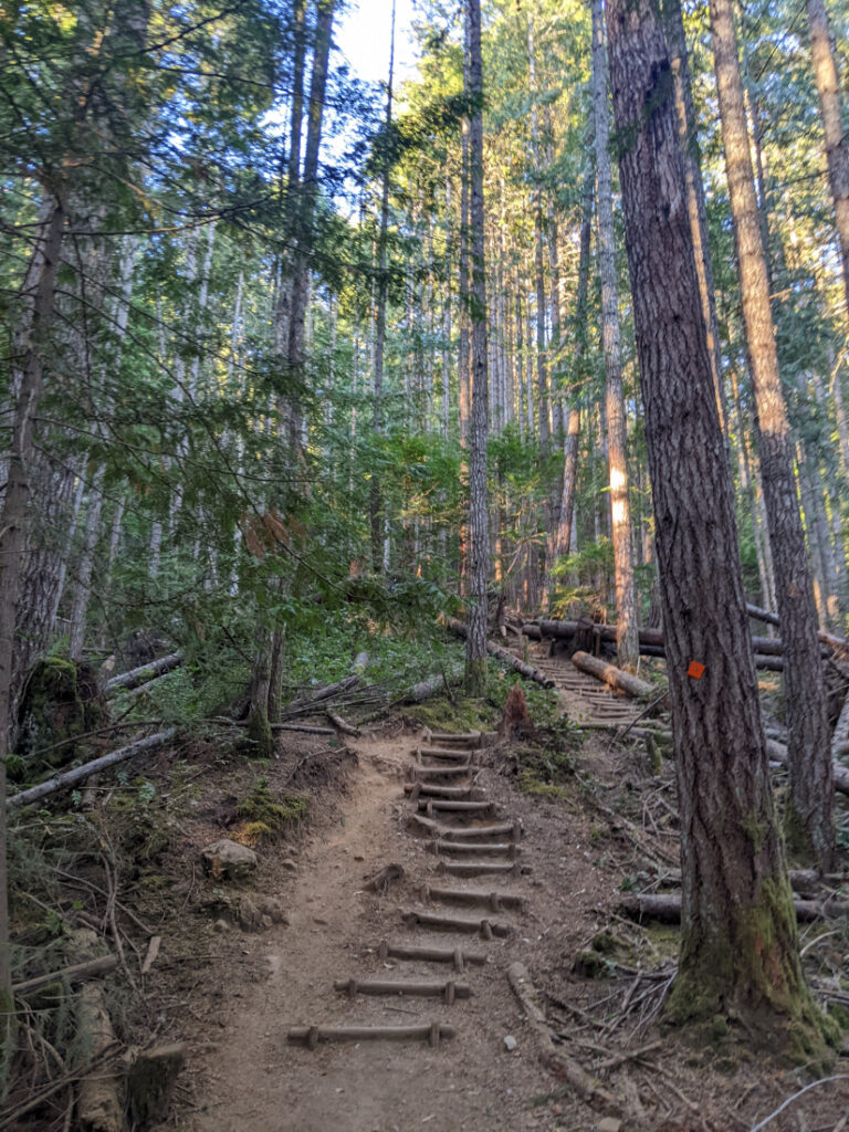

The trail is a bit of a slog up through the forest. Near there start there are lots of well built steps. As you get higher, there are a few steep places where you need to scramble up rocks. But there are ropes for those sections if you need them.

Mount Benson First viewpoint
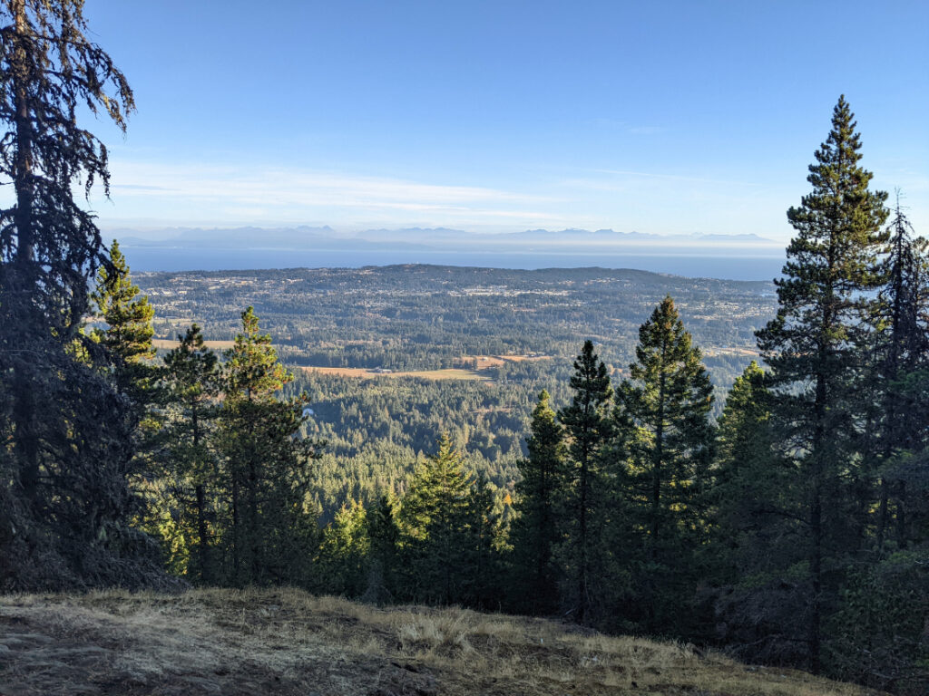
About a third of the way up you’ll reach the first viewpoint. It’s not a bad first view of the Nanaimo area!
The trail is sometimes crossed by other trails, but the signs are pretty decent, so just keep heading up!

Steep trail or easier trail?
If you prefer, you can turn left at the “old road” to follow less steep loop up to the summit. We chose to hike up the steeper option (as we both prefer to hike up steep slopes and save our knees by hiking down the easier route.)


The advantage of the steep route is the views from the trail are fabulous!
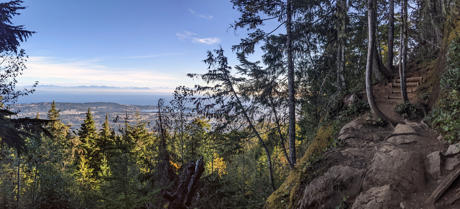
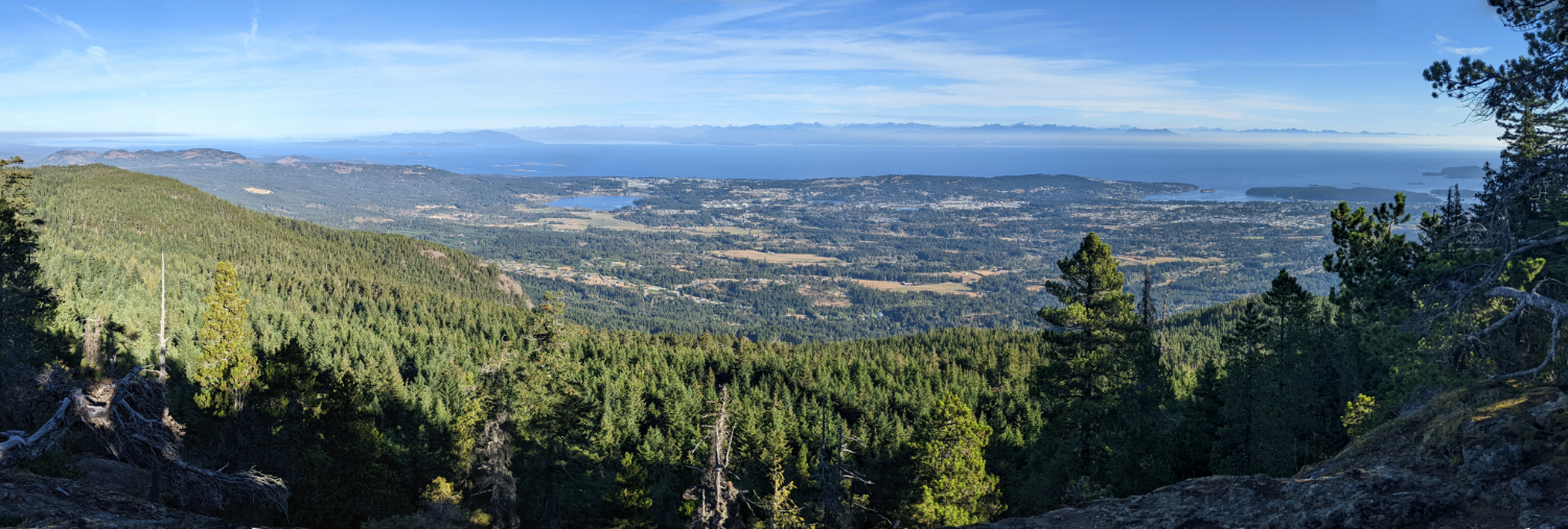
After some rocky viewpoints, the trail goes back into the trees and flattens out for a while. The trail traverses through forest that must have been damaged in a winter storm. It’s like a giant tangle of young trees!
AdLooking for the best online services?
Explore top-rated platforms and secure your discount before it expires.
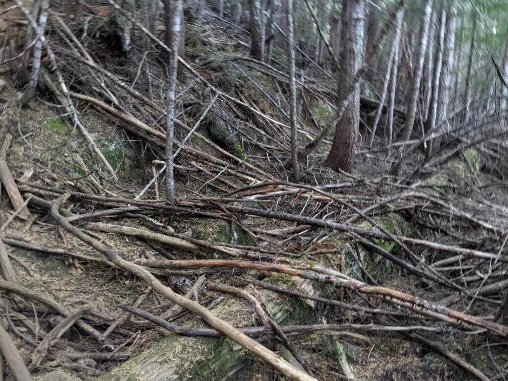
The last push
The trail emerges out on a rock face so you get to scramble up the final section to the summit. You will need to use your hands, but it does not take long, (10-15 mins) and it is fun, rather than scary.

The false Summit
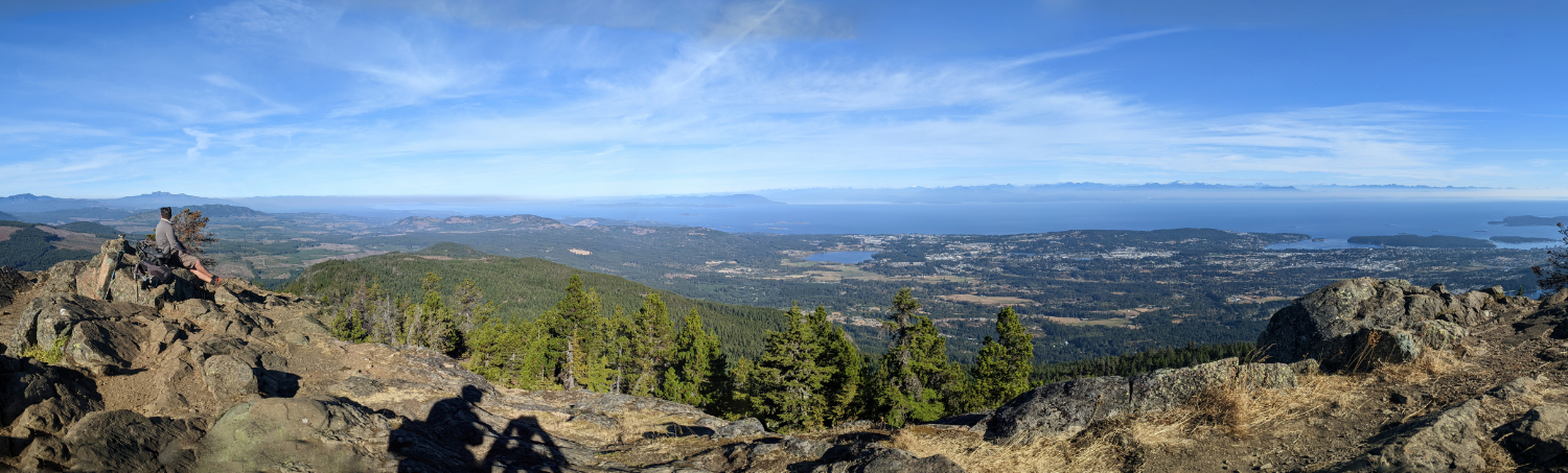
Once you reach the top, there is plenty of space to look out the views. There is even a Canadian Flag if you fancy posing or jumping next to it. You can see Saysutshun/Newcastle Island in Nanaimo’s harbour as well as the Coastal Mountain rage over near Vancouver!

Mount Benson Views
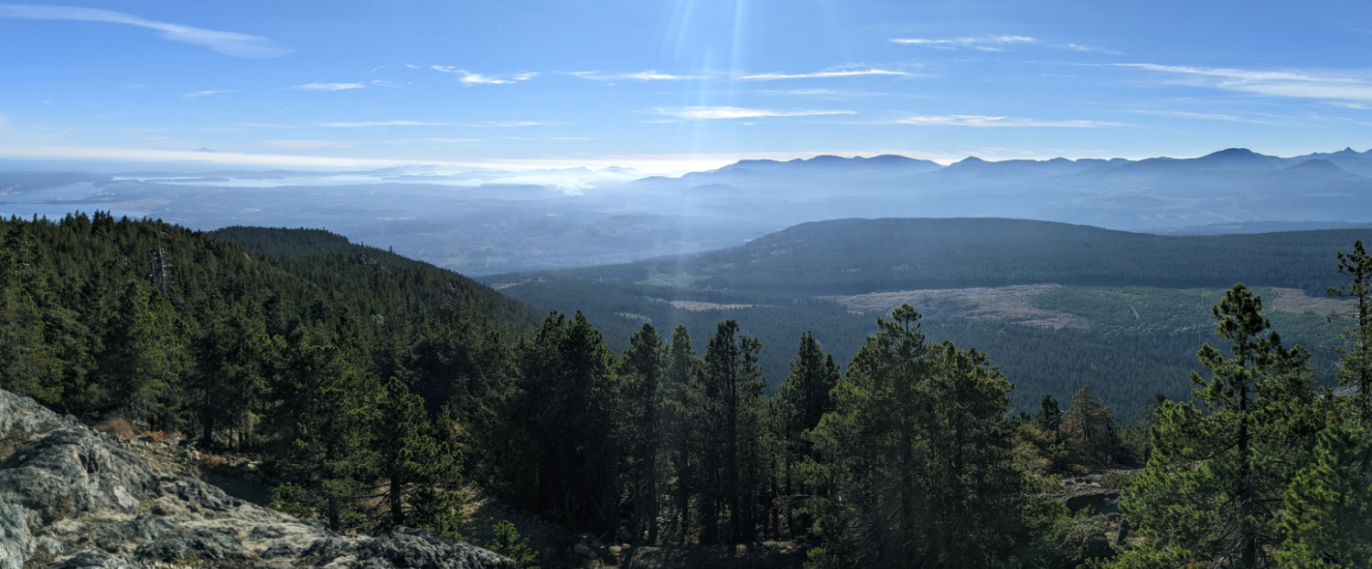
Here are a few photos I stitched together from the top.

Mount Benson True Summit
Most hikers stop at the false summit. If you want to reach the highest point, walk towards the radio towers. There is an access road that will take you up to the true summit.

Then, if you keep going a little past the true summit, there is a fabulous view south.

Heading Down
You can return the way you came, down the rockface and the main route. However there is another route that loops back to via the Te’tuxw’tun trail and the old road. Te’tuxwt’un is the Snuneymuxw name for Mount Benson, meaning the Grandmother of all mountains.


Snuneymuxw First Nation
The Snuneymuxw First Nation are part of the Coast Salish People who live in this Eastern part of Vancouver Island. It was cool to find out that in Jan 2024, part of Mount Benson was given back to the Snuneymuxw Nation from the BC government. Tread carefully (and of course leave no trace) when you hike here to respect this beautiful area.
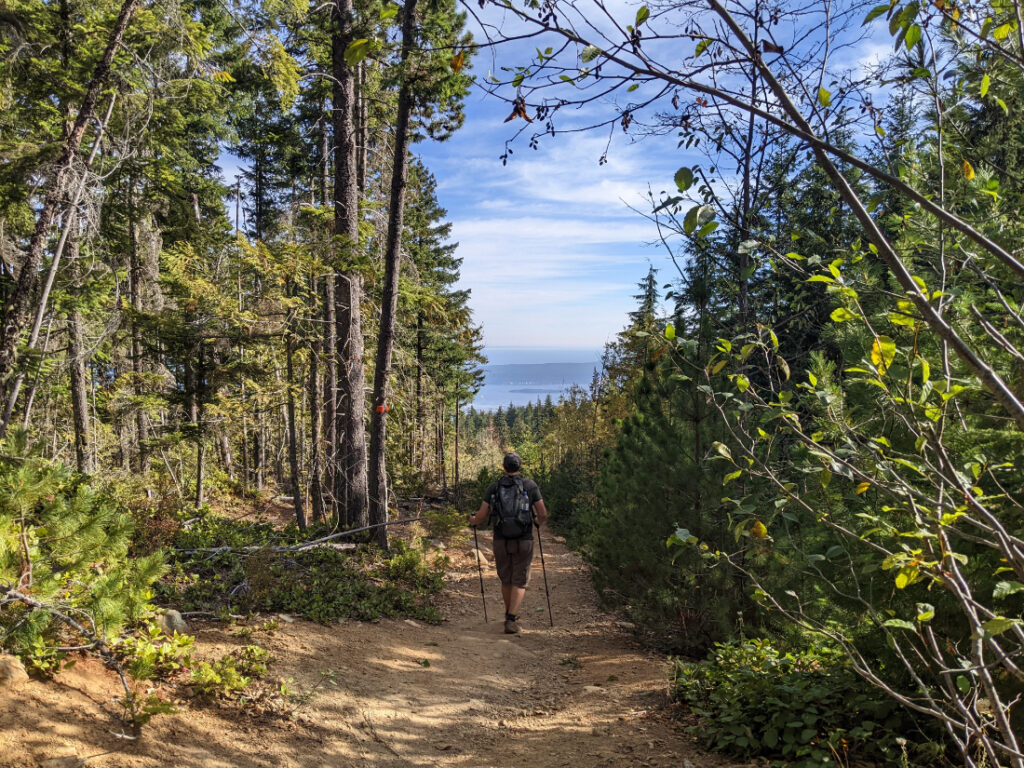
Hiking up Mount Benson is a great introduction to Vancouver Island! It does not take too long, and it’s within view of Nanaimo, so it works well as a first hike off the ferry. I loved that the trail was so varied with tangled forest, fabulous rocky outcrops and a little bit of scrambling to keep things interesting. If you like a workout to reach spectacular views – this is a good’un. Please click on the pins below to save this for later.


8 thoughts on “Mount Benson – Vancouver Island”
This looks gorgeous. I grew up in Alberta but live in the States now and would love to take my kids to explore the Vancouver area. Thanks for the info.
Vancouver Island is a bit further from Vancouver (it’s a few hours on a ferry…) but i bet you’d love both. 😀
I’m all about the steep trail for the views – why not! Great exercise and a little reward for it. So nice to hear part of the area has been given back to the Snuneymuxw Nation
Yeah that made me smile too. I was glad they named the Te’tuxw’tun trail. That is what made me try to find out more (as I was wondering what it means…)
I have been to Vancouver several times but have never made it to Vancouver Island. The views look great from teh top of Mount Benson.
The Island is pretty fab. If you like the coastal rainforests and mountains in the Lower Mainland, it is like that, but with a bit more rustic charm…and amazing sea views from the mountains…
I’m so glad I read this, because now I have an excuse to stick around in Nanaimo the next time I visit the island (usually I quickly drive through en route to somewhere else). The views on the way up look totally worth the steep route. Love that Mount Benson was given back to the Snuneymuxw Nation!
Ha, yeah we did that a couple of times too 🙂
The other really fabulous mini stop near here is Englishman’s Falls. Have you been there? It’s pretty fabulous.