
Cape Scott Trail to Nel’s Bight
The Cape Scott trail is a fun backpacking trip that’ll allow you to walk to the northwesterly tip of Vancouver Island. The most popular place to camp along the way is the beautiful beach called Nel’s Bight. This area is known for it’s gorgeous wild coastline, mud and changeable weather! I’d read that the trail can be a bit of a slog until you reach the beach, but if you like hiking through gnarly old growth forest, it is an absolute pleasure.
Cape Scott trail to Nel’s Bight
Distance: 18-19 km one way (so at least 36km return) We recorded 23.7km, starting from San Josef Bay. We then recorded 21.5km on the way back.
Cumulative Elevation gain: 430m (so 860m-ish both ways)
Time: 5-6 hours moving time, one way.
What to bring: The 10 Essentials, Plus camping gear so you can stay! This is a remote backcountry location, so try to be well prepared.
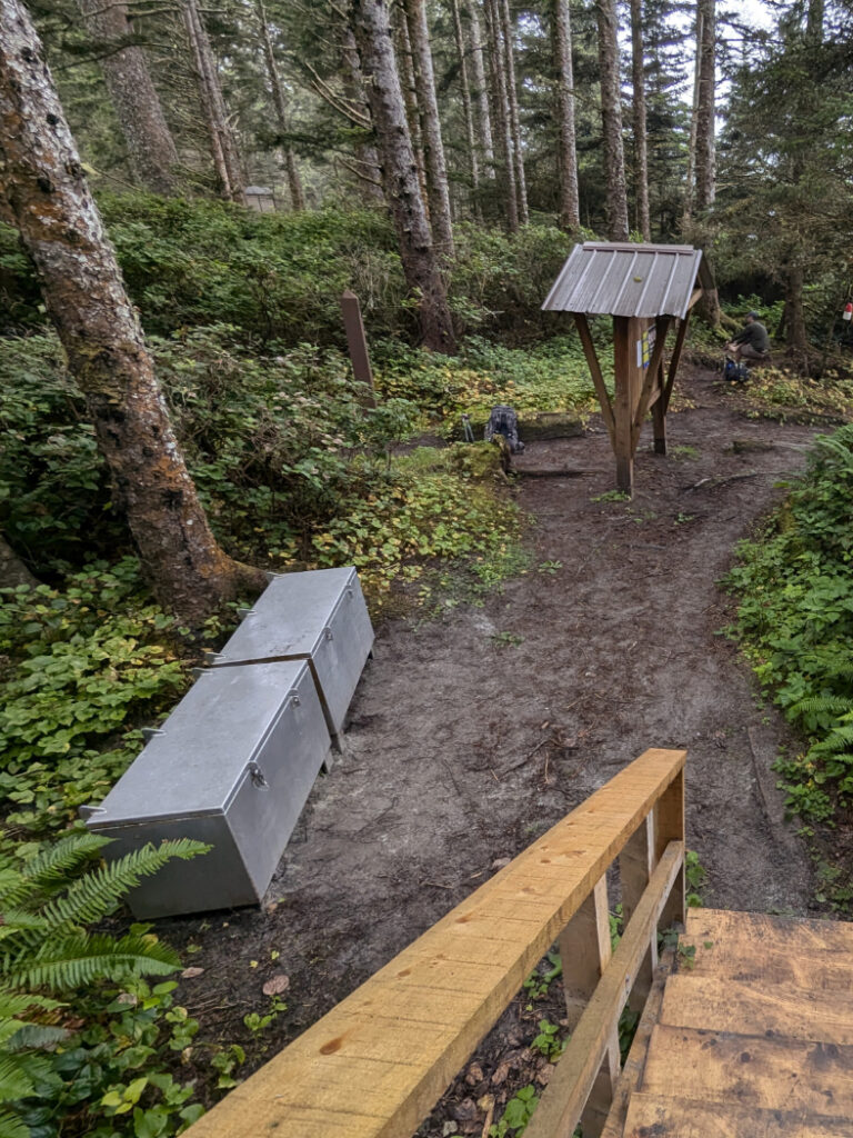
Facilities: Loos and bear caches at each campsite along the way.
Water: You can refill water at Eric Lake (3.5km in), a waterfall (6.6km in, but don’t rely on this one it was a trickle in August), Fisherman’s River (10km in), or at Nel’s Bight (18km in, at the far end of the beach). You need a filtration device or water purification tablets.
Dogs: No dogs for this trail. They are allowed to San Josef Bay though.
How hard is it? Intermediate. The trail is pretty easy to follow and not technical BUT it can be very muddy. If you do this as a day hike, expect it to be hard. If you split the trail into small sections it would be easier, but far harder than the trail to San Josef Bay.
Extra notes: Get ready for fog! Cape Scott is situated at the tip of Vancouver Island, where warm, moist air from the Pacific Ocean meets cooler land temperatures. This means it is often foggy, especially in the morning – even in the summertime.
Wait, what’s a Bight?
A bight in geographical terms refers to a curved recess in a coastline, forming a large, open bay. In Cape Scott Provincial Park, several beaches are called “bights” due to their distinctive bay-like shape; Nel’s Bight, Nissen Bight and Experiment Bight.
Cape Scott Trail – Getting Started
If you’re coming from Nanaimo, it’s a 4+ hour road trip to Port Hardy. Fill up with gas in Port Hardy and then you’ll need to drive for another 2 hours along the unpaved Holberg Road. This is a logging road, so if you drive in on a weekday, be ready to pull over to give space for the logging trucks. The road is well maintained, but bumpy and dusty. The Cape Scott trailhead is surprisingly full in the summertime, so you may need to park along the side of the road.
This is all the same as getting to San Josef Bay. We woke up in San Josef Bay, so came back to the trailhead (to grab extra food) before we went off towards Cape Scott.
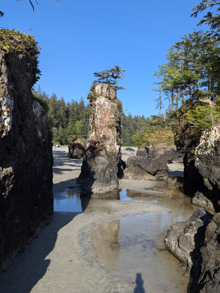

Rugged trail
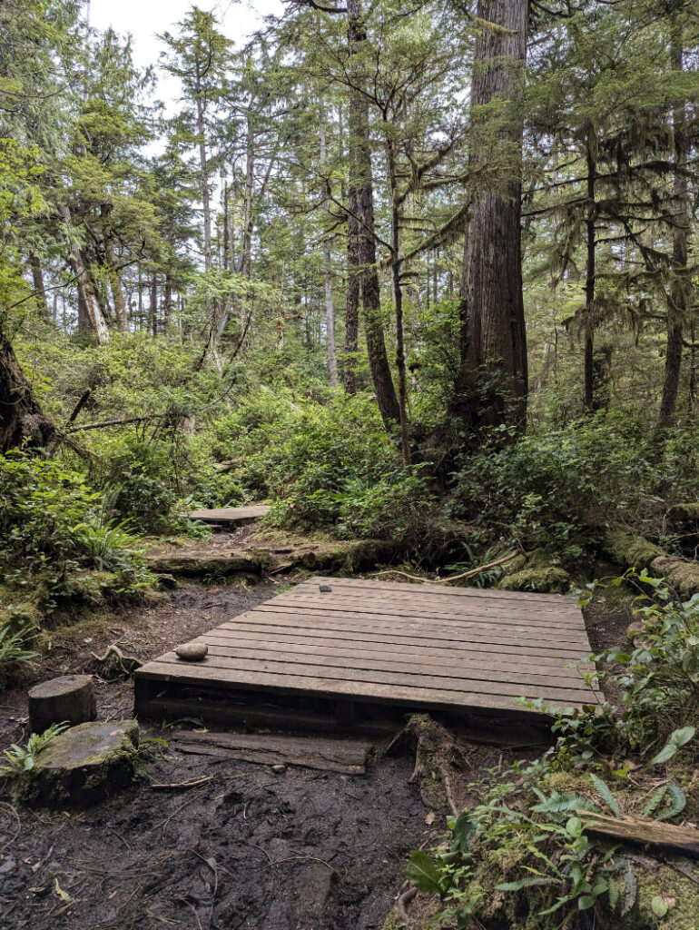
The Cape Scott trail shares the first 800m with the trail to San Josef Bay, so that part is smooth, but almost as soon as you turn right towards Cape Scott, things get a little rougher. The route is still very easy to follow, but some of the boardwalks are a bit rotten and wobbly. We visited after a few days of sunshine, but there was still plenty of mud! This’ll make you good at balancing, especially with a heavy backpack.

There are (of course) sections of trail where the boardwalks are in good nick, it’s just I have stronger memories of all the places where I needed to jump! I made a mini reel on instagram, so you can see what I mean!
View this post on Instagram
Historical trail
The trail to Cape Scott has a pretty long history (for Canada!) First, the Tlatlasikwala, Nakumgilisala and Yutlinuk First Nations lived in the area for centuries. However for this trail, parts of the route follows old Danish settler paths from the early 20th century. For example, near Eric Lake, hikers traverse a section of corduroy road created by Danish settlers in 1908. Corduroy roads are created by laying felled logs perpendicular to the direction of travel, side by side across the cleared pathway. They are similar to the modern boardwalks, but were built by hand, so are a bit more bumpy!
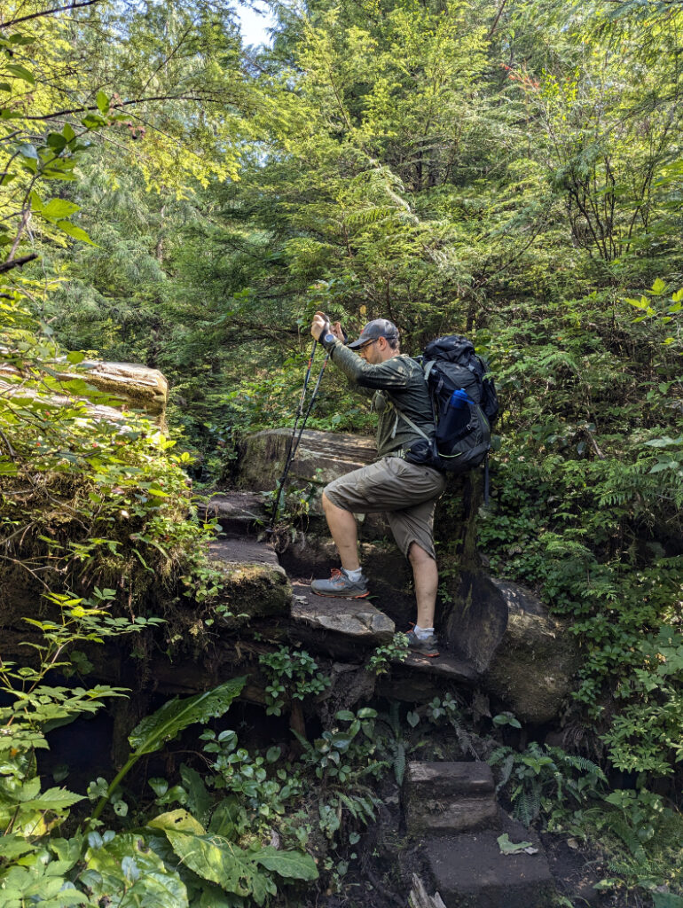
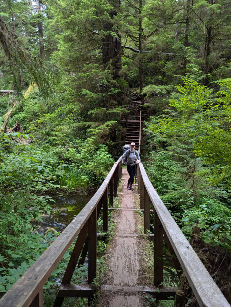
I really liked the way the trail feels so rustic, with steps cut into giant old growth logs, or massive trees being repurposed as bridges!
Eric Lake
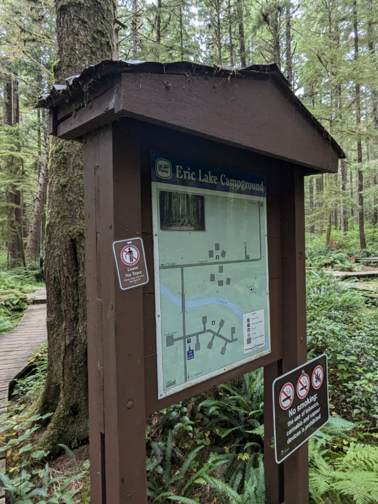
You’ll get a first peek of Eric Lake 2km into the trail, at a wharf at the south end of the lake that was built by the Danish settlers. Then just over 3km in, you’ll get to the lovely Eric Lake Campground.
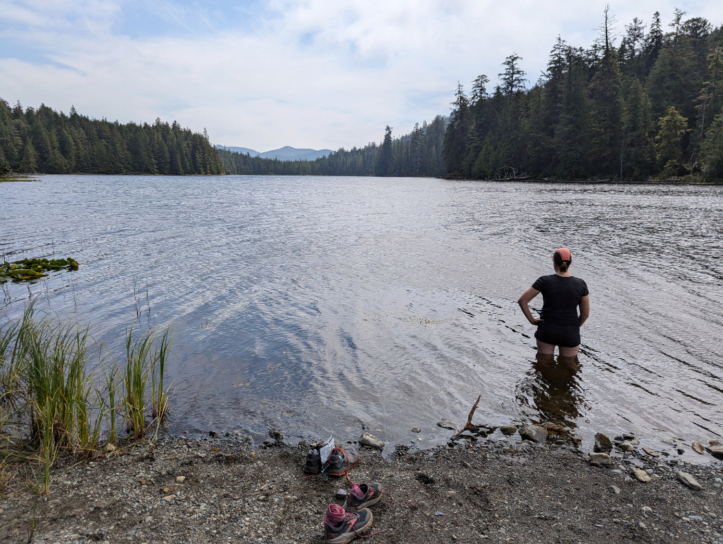
Eric Lake Campground is very close to the trailhead, so it is mostly used by people who arrive at Cape Scott late in the afternoon. It’s a great option for that, so hikers are ready to continue towards Nel’s Bight the following morning.
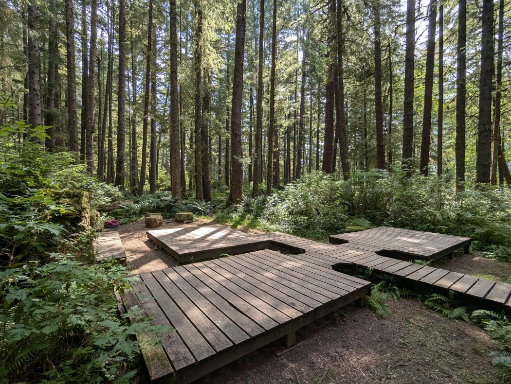
Eric Lake Campground Facilities
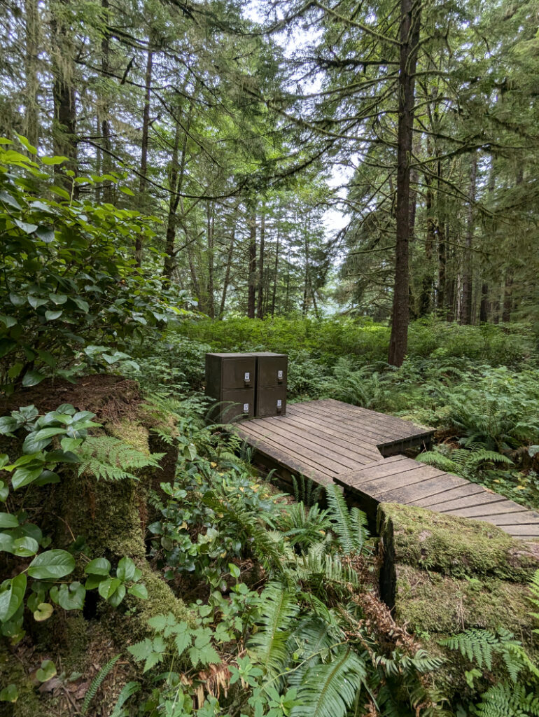
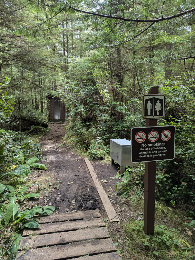
There are 11 wooden tent platforms, some close together, and some further into the forest. Facilities-wise there are 4 lockers for food cache as well as a pit toilet. You can collect water from the lake, about 100m away.
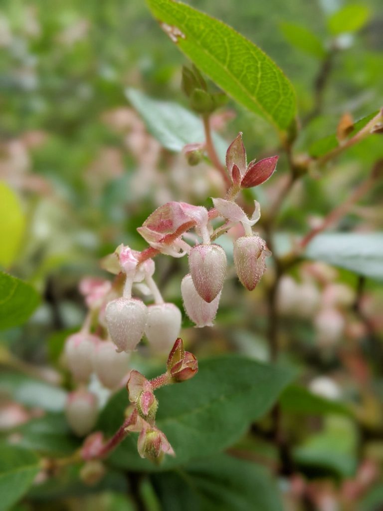
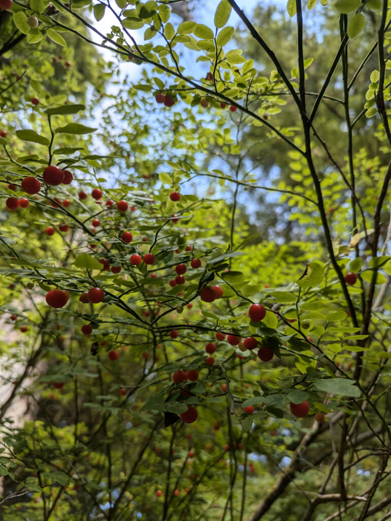
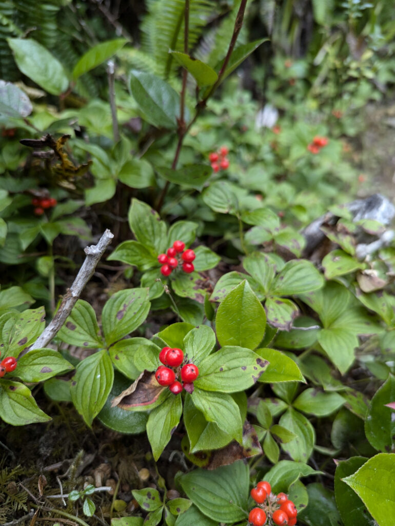
The next section of trail is mostly in the lush forest. Watch out for huckleberries (we found some good ones- photo to the left!) If you see bright red berries in bunches (called bunchberries) close to the ground, don’t eat those ones!
Fisherman’s Creek
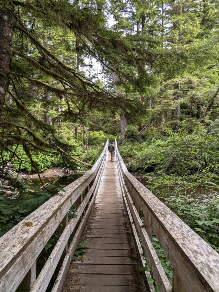
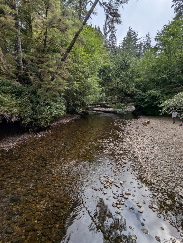
The next place that is great to stop for a break, is the campground at Fisherman’s Creek 10km into the trail. You can’t quite see from my photo, but there is another really cool bridge, built over a massive old growth log that spans the river.
AdLooking for the best online services?
Explore top-rated platforms and secure your discount before it expires.
Facilities at Fisherman’s River Campground
There are two wooden tent pads, close to the pit toilet and food cache. There wasn’t much space for campers here, with only two official campsites – but we saw some folks had set up camp on a flat area closer to the river. I would not be super keen to camp here as there were so many bugs!
Amazing Bog Pine section
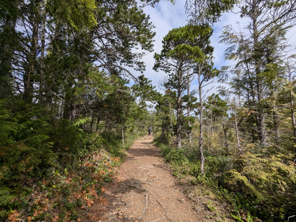
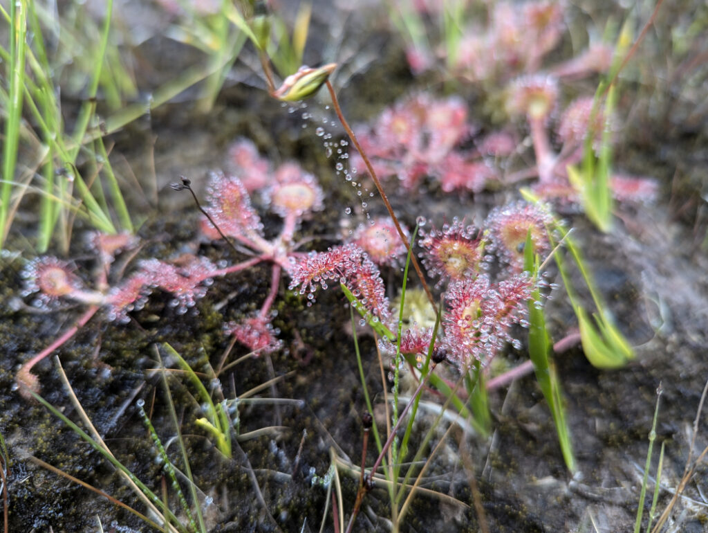
After the Fisherman River, the path follows the route of a telegraph line constructed in 1913. It was pretty dry when we visited in August, but this part can get VERY muddy! When you reach the boardwalks through the bog, look carefully, as you can see the carnivorous plants, sun dew! Those eat mosquitoes in order to collect nitrates that are not available in the boggy soil.
Settler Remains
This section of the walk shows traces of the various groups that tried to settle here in the first half of the 20th century. The Canadian Government invited European and North American pioneers to move here, promising to build a road to the area. People did well fishing and farming the area, but when the promised road was never built; There was no easy way to transport goods to market. In the end, all of these settlements were abandoned by the end of the First World War.
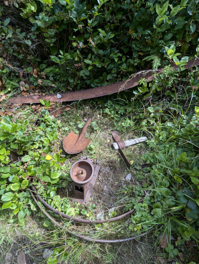
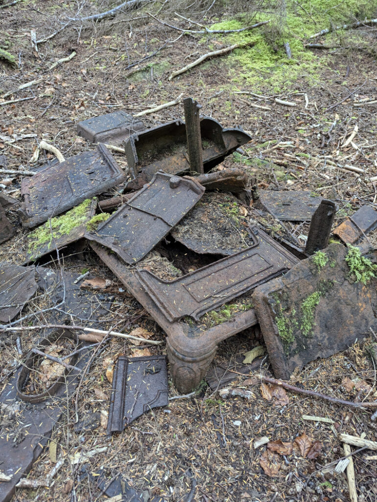
At around 13.5km into the trail there is a junction where you take a hard left to go towards Nel’s Bight, or straight for Nissen Bight and the North Coast trail. Just before this, watch out for a small trail into the forest. If you explore you’ll find the old townsite. You can even see the pink granite gravestone of William Christiansen who died at 12 years old in 1906.
Hensen Meadows
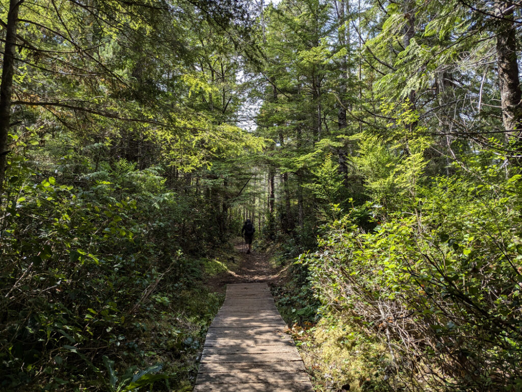
The trail suddenly opens up at Hansen Meadows, where the Danish settlers cleared the land in preparation for farming. The meadows are full of flowering grasses and really gorgeous (if a big soggy underfoot!) There are two long dykes built in 1899 and 1905. The dykes have now failed, so it’s all partially flooded.
More amazing trees
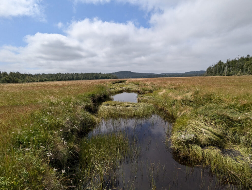
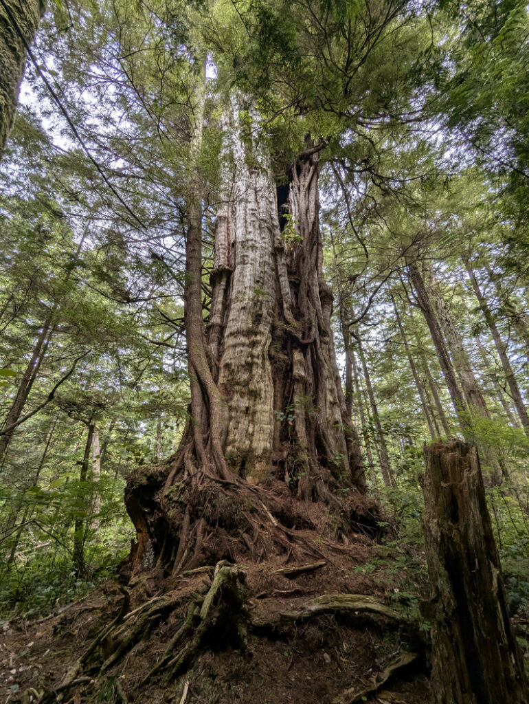
Some of the most impressive forest we saw was in the final mini section between Hensen Lagoon and Nel’s Bight campground. Look at this beauty!
Nel’s Bight
We were so excited to reach Nel’s Bight. People have tied up buoys that have floated onto the beach. This means it is always easy to find entrances to the forest – just look for the colourful buoys!
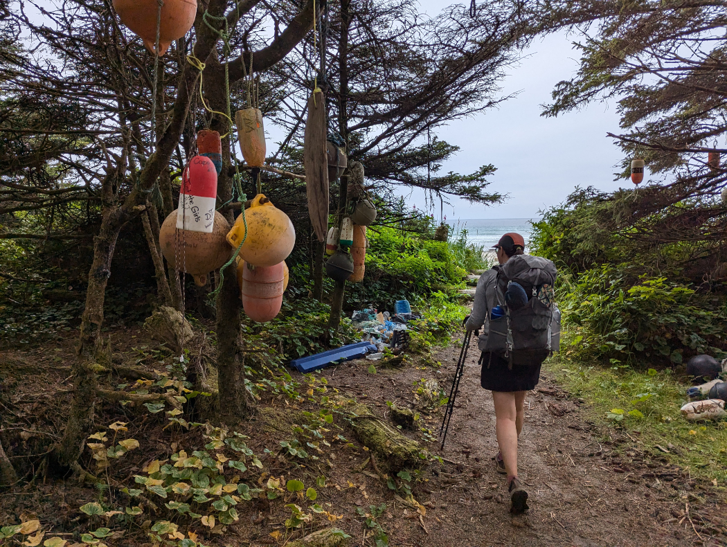
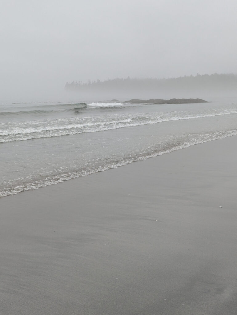
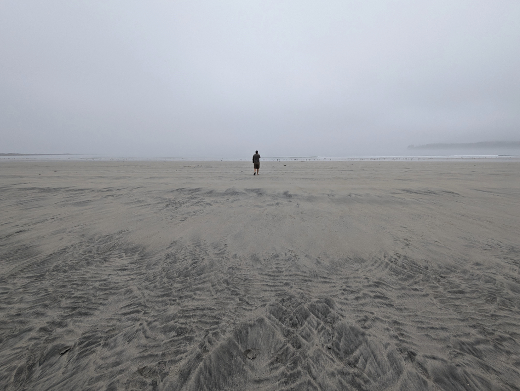
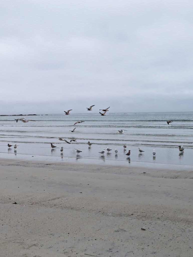
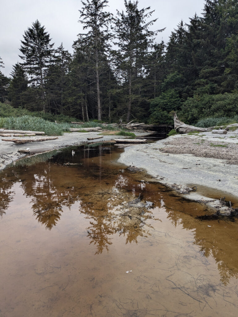
When we visited, Nel’s Bight was enveloped in the mist, so it had a gorgeous, eerie vibe. There were hundreds of birds chilling at one side of the beach, and you’ll see where the creeks flow into the sea – the water is stained dark with all the tannins from the boggy soil.
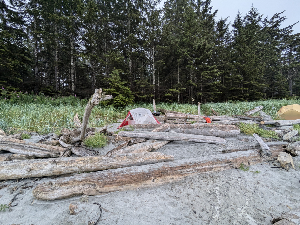
Camp Directly on the beach
The reason there is no limit to the number of hikers on this route is that everyone camps directly on the beach. You just need to be careful to camp above the line of the tide! There are also a few spots further into the forest if you prefer to camp right in the trees. I loved camping here and listening to the ocean as we went to sleep.

Backcountry registration
One of the wonderful things about camping in Cape Scott Provincial Park is that you do not have to fight to get a booking! The easiest way get a camping permit is to book it online via the backcountry registration service. But, if you like to make plans at the last second, you can self register with cash once you arrive. The cost is $10.00 per adult (16+) and $5 per child.
Facilities at Nel’s Bight
The campsite has bear caches (lockers, rather than bear hangs) as well as posh pit toilets with steps up to them. There is water available at a stream on the west side of the beach but you’ll need a filtration device. Just like San Josef Bay; The facilities are all located in the forest, find each entrance by looking for hanging buoys.

Misty beach
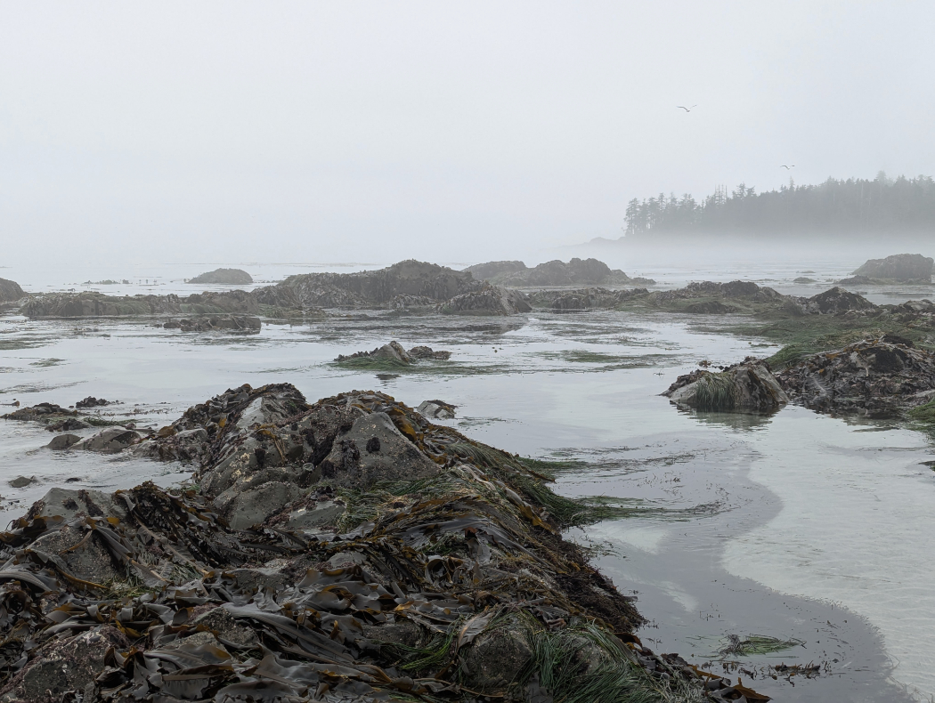
I was in awe the following morning when we woke up to see Nel’s Bight looking like this! I know it would have been beautiful with blue skies, but it was incredible to see the traditional, foggy views of this amazing area.

Split up your trip?
I wouldn’t recommend hiking the way we did this one. We started at San Josef Bay and hiked to Nel’s Bight, set up our tent and then continued on to Cape Scott on the same day. Then the following day we returned to the trailhead. This meant we hiked 40+km in one day (with 23km carrying heavy backpacks.) This was hard, and we were both exhausted.
You can split up the trail and camp at Eric Lake (3km in) or Fisherman’s River (at 10km in). I think if I wanted to do this in 3 days again, I’d go straight to Nel’s Bight and camp. Then go to Cape Scott the following morning, then hike to Fisherman’s River or Eric’s Lake to camp that afternoon. Then visit San Josef Bay the following morning.
What do you think? Would you like to try this kind of long, flat-ish hike to camp on a beach at the tippy top of Vancouver Island? Or would the possibility of fog turn you off this one? My next post will be about the final 14km to the the lighthouse at Cape Scott.
15 thoughts on “Cape Scott Trail to Nel’s Bight”
Thank you for the recommendation on splitting this hike up further. 40 km in one day with heavy packs sounds a bit much for me.
Lol it was too much for us too! It wasn’t all with heavy backpacks, but we were so, soooo tired by the end!
Hahaha! Not a chance would I do that hike in 1 day. I agree with you that 2 or 3 days would be much better. It would also give you more time to enjoy the area. This trails looked like it had some really nice features (ie. the bridge, streams, open field). That’s what makes hiking so unique…you never know what you’ll come across. Especially in back-country.
Heh! That’s fair! I think most people just do the trail to Nel’s Bight in a day – that part alone is way more manageable!
This sounds like an amazing hike! So many different terrains to keep it interesting. With all that mud, I’d probably bring a second pair of hiking boots to be safe!
I’m not sure I could be bothered to carry a second pair of hiking boots – but it was quite nice to have flip flops for once we got to camp. 😉
I’ve always wanted to explore this region more. Thanks to for the tips!
It’s such a gorgeous area! If you’re considering it, have a look at San Josef Bay as well – it’s easier to reach and beeeeautiful!
This looks beautiful! Love that it is easy to split into multiple days so you can really take your time and enjoy the flora and fauna that is so unique to this region.
Thanks Meghan! Yeah, it is nice when you can split up trips (or swallow them whole) depending on the hiking style of the group. 🙂
I love a trail that is a little adventurous and the fog is pretty neat! I wonder though if it gets that foggy, was it really damp out there? I think of the humidity we get down here in Houston, TX and don’t love that sticky/wet feeling of the air.
What a fantastic hike! I love all of the scenic spots along the way. But spreading it out over 2 days seems much more my speed 🙂
Lol – no arguments here! We should have spread it out a bit more!
I love how foggy it was! But I could not do 40 km in one day.
That fog was so pretty! <3
But yeah, don't worry - you definitely don't need to do 40k in a day! Just going to the beach is 17-18km, and you can break that up if it sounds like a bit too much.